
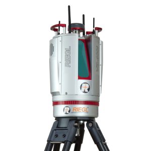
The RIEGL VZ-400i 3D Laser Scanner is a high-speed, survey-grade terrestrial LiDAR system that delivers real-time data processing and exceptional accuracy. Ideal for topographic mapping, urban modeling, and demanding geospatial applications.
-
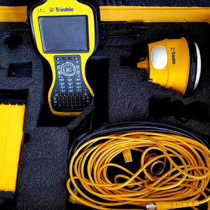
Trimble SPS985 with Trimble TSC3 controller and Trimble Access for Sale
The Trimble SPS985 GNSS rover, paired with the rugged TSC3 controller and Trimble Access software, delivers high-accuracy positioning and efficient field data collection for construction and surveying professionals.
$5,400.00 -
 $14,500.00
RIEGL VZ 400i 3D Laser Scanner For Sale
$14,500.00